In my last posts about DSLWP-B, I have been showing all the images of the lunar surface that were taken by the satellite during the last weeks of the mission, and tried to identify to which area of the Moon each image corresponded. For several of them, I was able to give a good identification using Google Moon, but for many of the latest images I was unable to find an identification, since they show few or none characteristic craters.
Thus, for these images I only gave a rough prediction of which area of the Moon was imaged by using GMAT and the published ephemeris from dslwp_dev. This doesn’t take into account camera pointing, orbit or shutter time errors.
Phil Stooke has become interested in this and he has managed to identify many of the images, even some containing very little detail, which I find impressive. No wonder, Phil is the author of several atlases of space exploration of the Moon and Mars, so he knows a lot of lunar geography.
Phil tells me that he has used Quickmap, which is a very nice tool that I didn’t know of. It is much more powerful than Google Moon. He recommends to switch to an equidistant cylindrical projection and set as a basemap layer the “WAC mosaic (no shadows) map”, which contains images with the sun directly overhead. This resembles the images taken by DSLWP-B better, since these are always taken with the sun at a high elevation, because the camera always points away from the sun. It is interesting to see how the appearance of the surface changes between the “no shadows” and “big shadows” maps.
In this post I show the locations of the images identified by Phil.
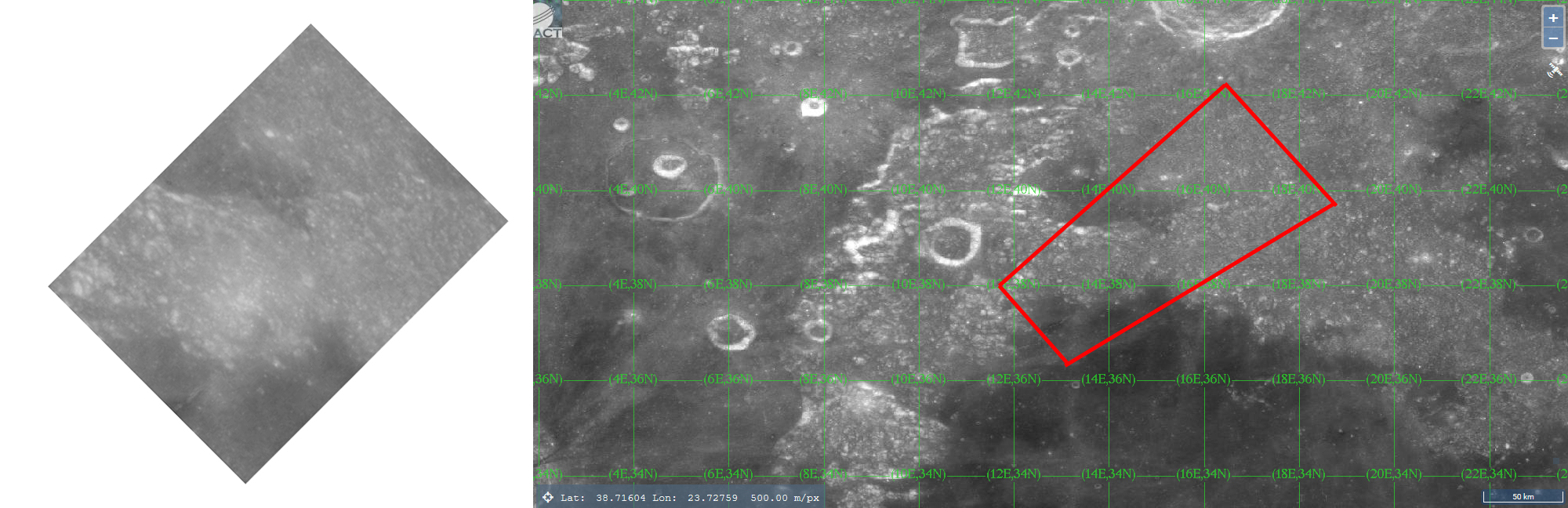
The first of them was taken on July 18 and is shown below.
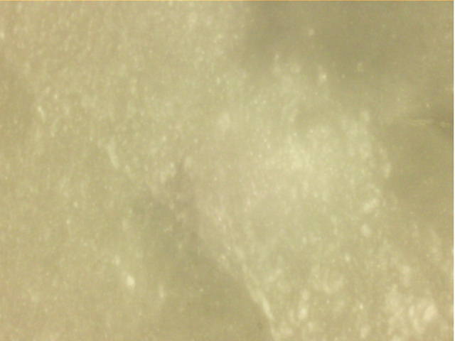
Phil has rotated the image approximately 135º to the right and shown that it matches quite well an area of the lunar surface around 15ºE 39ºN. The lower left part of the image above corresponds to Alexander crater. The image that Phil has sent me with the identification can be seen in the figure below.
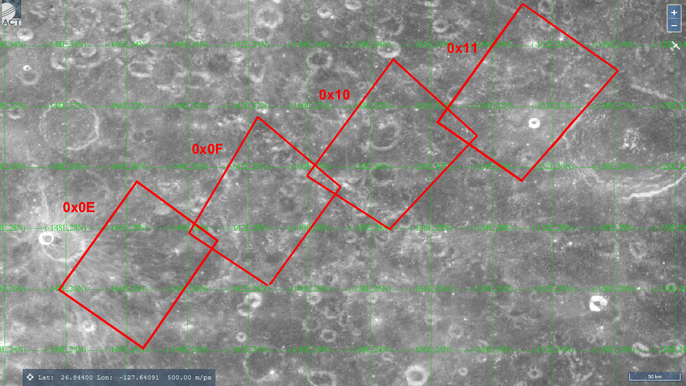
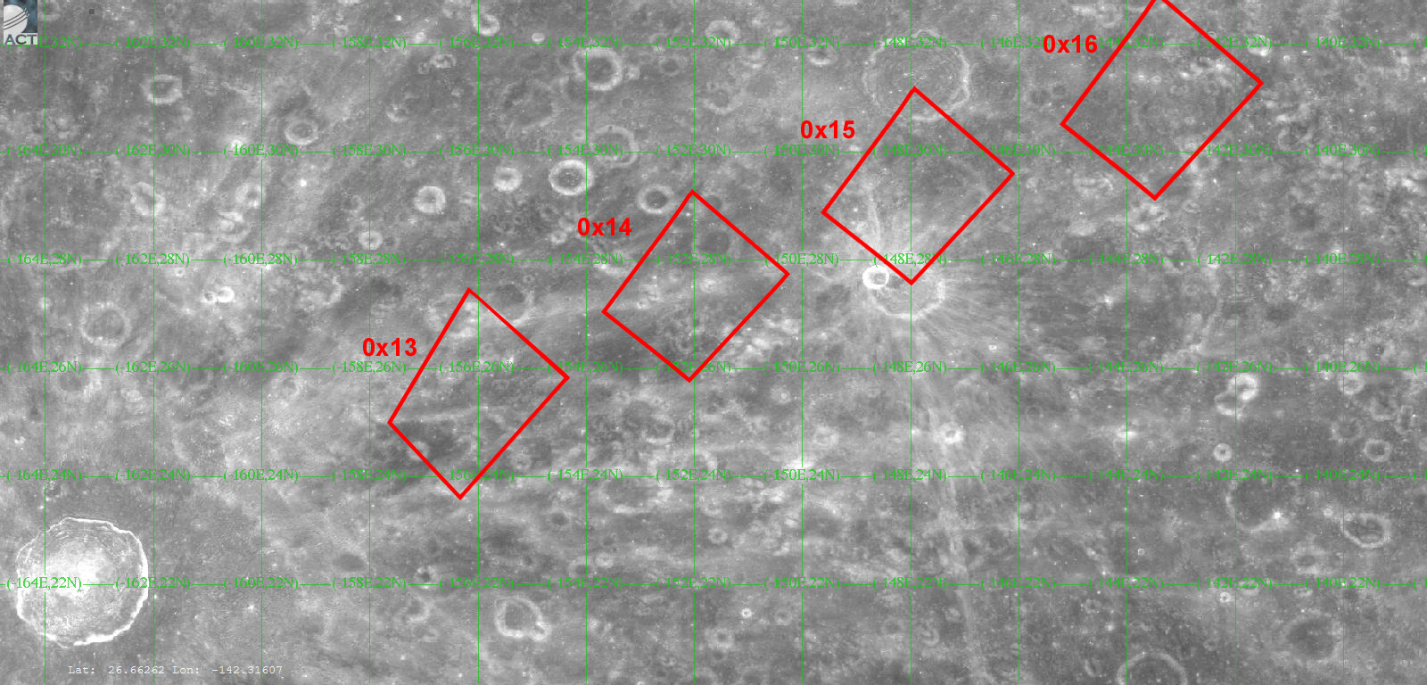
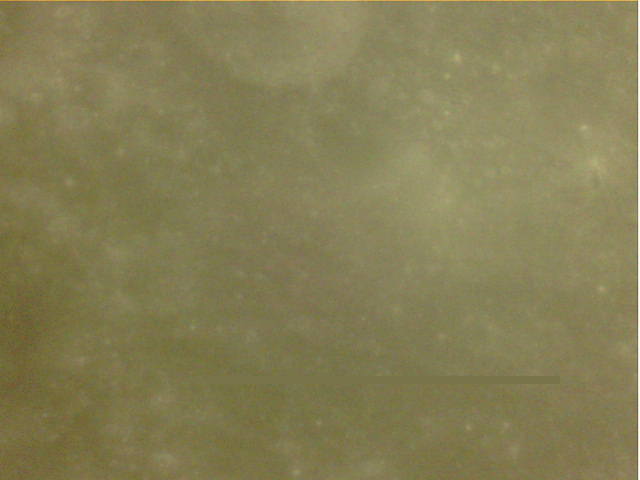
After this success, I told Phil that there were several more unidentified images. He was able to identify the image sequences 0x0E-0x11, 0x13-0x16, and 0x19-0x1C, which were taken during three consecutive periapsis passages on July 28 and 29. According to my notes, only image 0x01 (which is somewhere in Oceanus Procellarum and can be seen in this post), and images 0x1F-0x22 remain unidentified. This last series of images was taken during the last periapsis passage of DSLWP-B, at an altitude of only 13km, so I think it is rather difficult to identify them.
The figures below have been made by Phil to show the identification of each of the three series of images. They show approximately the same area of the lunar surface. It is interesting to note how the location of the images keeps shifting towards the west on each periapsis pass, as the Moon rotates under the satellite, how the relative size of the images keeps getting smaller, as the periapsis height decreases, and how the direction of the groundtrack and the camera orientation are the same on the three images.
The largest craters in these figures are, from west to east, Jackson (only visible in the last two), Joule (visible in the first two), and Kovalevskaya (only visible in the first one).
I will now show each of the images taken by DSLWP-B in these series so that they can be compared with the LRO maps from Quickmap.
The first series covers from the eastern rim of Joule T crater to the western rim of Kovalevskaya, as shown in the figure below.
In image 0x0E, shown below, rays from Joule T crater are faintly visible near the top of the image.
In image 0x0F, a small and very round crater on the eastern rim of Joule can be seen towards the upper left of the image.
In image 0x10, the craters Teisserenc P and Q are visible. Teisserenc P is towards the lower left and Q is towards the upper right.
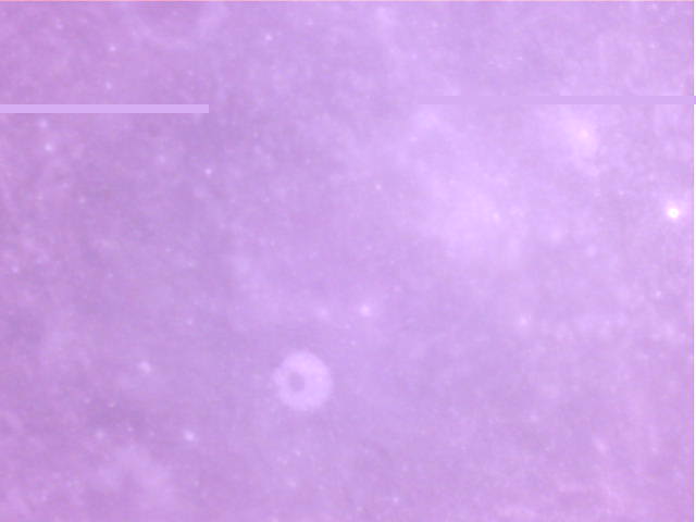
In image 0x11, an unnamed small round crater located to the west of Kovalevskaya is clearly visible toward the bottom of the image. Also, half of Teisserenc C is visible in the upper edge of the image, towards the left.
The second series covers from Ingalls crater to Sanford T, passing over Joule T and Blazhko.
The first image in the series, image 0x13, doesn’t show any relevant features, although part of Ingalls U should be visible on the upper right corner.

In the next image, a large round unnamed crater is faintly visible towards the right edge of the image.
Image 0x15 shows a part of Joule T on the lower left, and the southern part of Blazhko on the upper right.
Finally, image 0x16 doesn’t show any remarkable features.

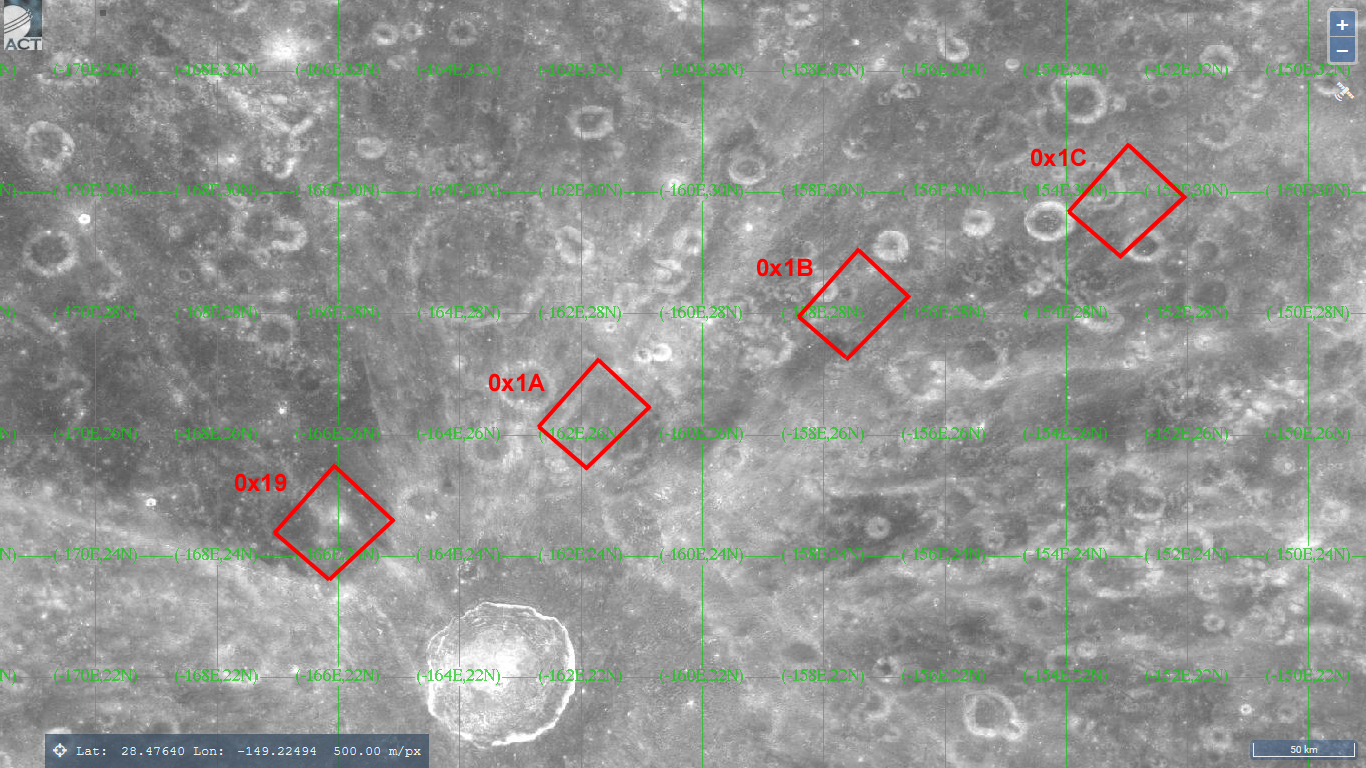
The third series covers from Marci B to Ingalls Z, passing north of Jackson, and doesn’t include any remarkable craters.
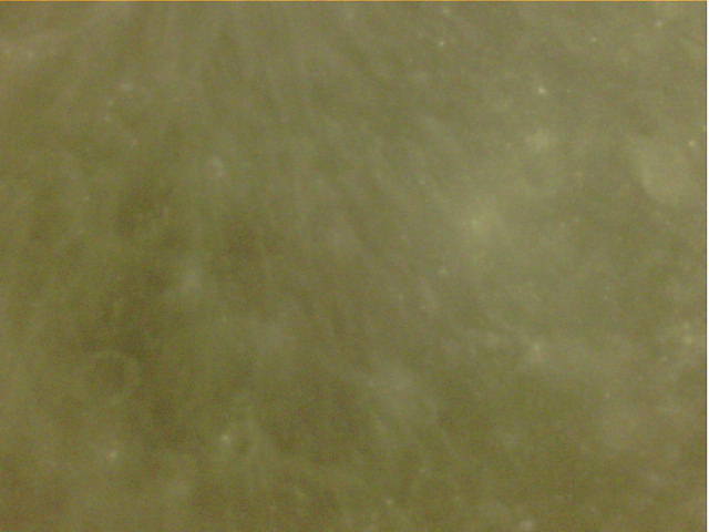
In image 0x19, Marci B crater is visible as a darker area at the top left corner of the image.
Image 0x0A shown below was taken just to the east of Mineur X crater, but it doesn’t show any remarkable features.
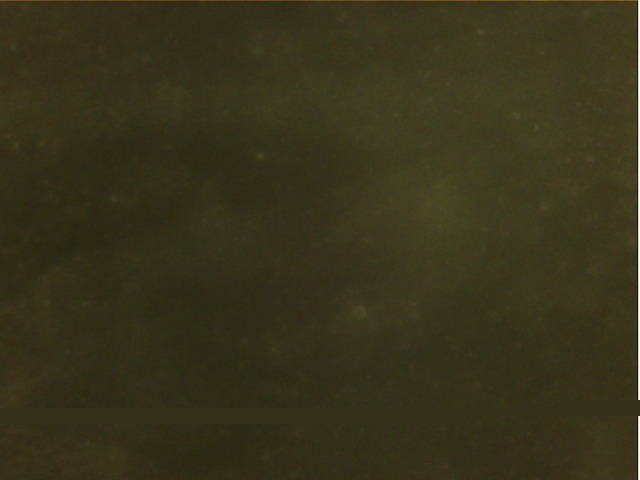
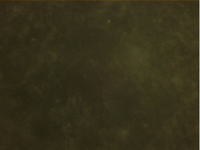
Image 0x1B was taken northwest of Ingalls U and V. It shows a very distinct but unnamed crater on the upper edge of the image.
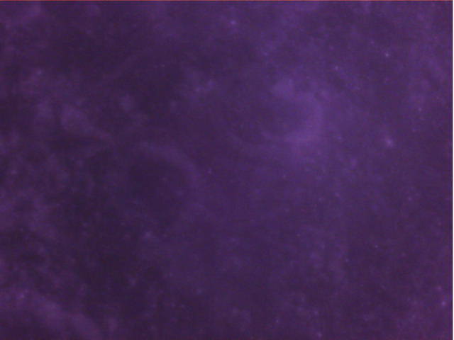
Finally, image 0x1C shows part of Ingalls Z in the upper half of the image.

Wow. Impressive to say the least! Thanks Phil, Dani, Cees and Tammo Jan and the Dwingeloo team, Reinhard, Wei and the Harbin team and many, many others. Special shout out to Sora KG5TEP for the Irony Eye camera, which I believe far surpassed expectations. Well done all.